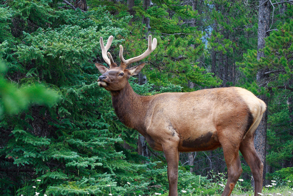
- The Galloway property is currently part of a managed forest. It was fully logged in the late 1980’s and early 1990’s. A managed forest is essentially a tree farm that harvests trees at points in time when the tree growth is adequate to produce a reasonable yield. Leaving this 457-acre land holding as it will leave it vulnerable to clear cutting during the next logging cycle
The Galloway Lands cover an area of 457 acres. The proposal protects 273 acres within PG-4 Park Zoning, and another 70 acres within no-build areas within the proposed lots. The protected areas therefore equal a total of 343 acres which is 75 % of the tree cover. - The Galloway Lands are private property, however many people in the community use the land for recreational purposes. This is currently unpermitted by the landowner except for a Land Use Agreement between the landowner and the Fernie Nordic Society which allows for the use of the existing logging roads during the winter.
The Galloway proposal creates a Conservation and Recreation Parcel covering 232 acres or 51% of the lands. This will allow for the proper stewardship of the recreational uses on the land and will allow permanent access for all members of the public. This tenure will also open the way for proper funding of the trail systems for multi activity use. - The Galloway Lands contain approximately 1.6 kilometers of Lizard Creek. The Galloway proposal fully protects this corridor by creating a green zone on the boundaries of the creek which exceeds any suggested setback under current BC law. The average setback will be more than 75 metres in width. This area, as well as any other areas in the 273-acre PG-4 zoned area, are deemed to be environmentally sensitive areas.
The developer is required to complete an Environmental Management Plan as a condition of zoning. Any disturbance within the PG-4 areas will require a Development Permit before disturbance will be allowed. The Development Permit will require that a Qualified Environment Professional (QEP) oversee any activities within the PG-4 areas.
The creek corridor has a more significant restriction than the balance of the PG-4 area in that it is identified as a no-build area. This means that no paths or trails will be allowed in this area and that it shall remain undisturbed except for where the access road must cross the corridor. The access road will have to meet all environmental regulations and approvals to be built. - The current emergency evacuation route to and from Fernie Alpine Resort is down the main access road to the ski hill. This produces a risk that if this route is blocked for any reason, emergency vehicles cannot respond to the ski hill, nor can people at the hill evacuate efficiently. The Galloway proposal creates a permanent access and egress for emergency purposes that can be used by those who live at Fernie Alpine Resort or are visitors.
- The land which forms the 467-acre holding is currently zoned to allow large lot subdivision which could be created without any zoning changes. Were this to occur, it is unlikely that public access, creek protection, and provision of emergency egress to the ski hill would be possible.
- The Galloway proposal creates an economic potential to add more than 26% to the existing tax revenue for Area A of the RDEK. This additional tax revenue can provide downward pressure on tax increases in future years as well as adding additional funding to existing programs.
- The Galloway proposal requires connecting to the existing utilities operated by Fernie Alpine Resort Utility Company. Homes in the proposed development will be subject to the same connection fees and user rate charges as all other residents at Fernie Alpine Resort. This will add significantly to the operating cash flow of the utility thus ensuring proper future maintenance and upgrade capacity.
- The fire risk in the current condition of the Galloway Lands is reduced substantially with the development of the land in accordance with the LUA. The reason for this is that the Land Use Application provides the following conditions:
- Construction of a main access road connecting the Highway 3 corridor with Fernie Alpine Resort thus allowing for access and egress in case of fire that does not rely exclusively on Ski Hill Road.
- Fire hydrants will be installed with connection to the Fernie Alpine Resort Utility Company.
- Prior to any development, the proponent is required to obtain a Development Permit from RDEK which will set the terms of any fire related improvement to the development lands. The most obvious requirement will be adherence to Fire Smart protocols.
- Fire hydrants will be installed with connection to the Fernie Alpine Resort Utility Company. The developer, Handshake Holding Inc., owned by Reto Barrington, has a proven expertise as evidenced by successful development in the Fernie area of the Fernie RV Resort and Koocanusa Village.
Share:
Share on facebook
Facebook
Share on twitter
Twitter
Share on linkedin
LinkedIn

